
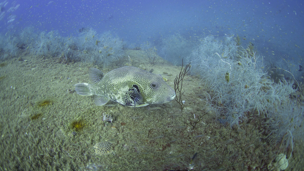
Map puffer
Arothron mappa
- Usual depth1–16 m
- Water temperature23–29 °C
- Best monthsApril, September, and December
- How commonOccasional
Photo credit: (c) Christopher Mark, some rights reserved (CC BY) · CC BY · iNaturalist
About this species
The map puffer, also known as the map pufferfish, scribbled pufferfish, or Kesho-fugu, is a demersal marine fish belonging to the family Tetraodontidae. It is typically found in tropical and subtropical waters from the Indian Ocean to the western Pacific Ocean.
Text from the Wikipedia article “Map puffer”, licensed CC BY-SA 4.0. Read the article
Where and when
Where it has been recorded
Worldwide
Loading the map
Best months
Worldwide (open data)
- January: 149 records
- February: 106 records
- March: 146 records
- April: 184 records
- May: 145 records
- June: 151 records
- July: 150 records
- August: 130 records
- September: 159 records
- October: 151 records
- November: 159 records
- December: 173 records
Depth and water temperature
Depth
Mostly recorded at 1–16 m · Deepest record: 27.5 m
Water temperature
Recorded in surface water of 23–29 °C
Photos
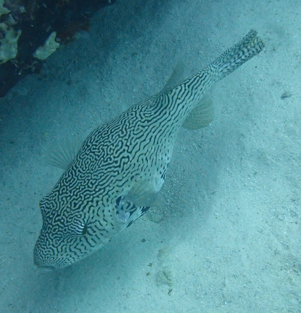
(c) portioid, some rights reserved (CC BY) · CC BY · iNaturalist 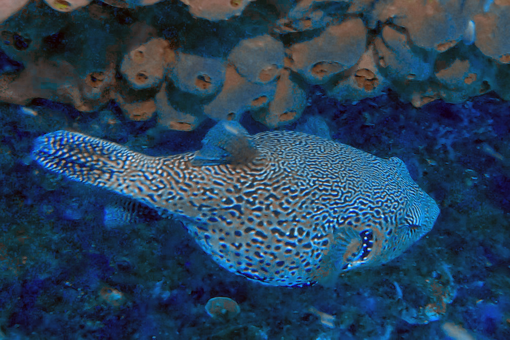
(c) Tom Heijnen, some rights reserved (CC BY) · CC BY · iNaturalist 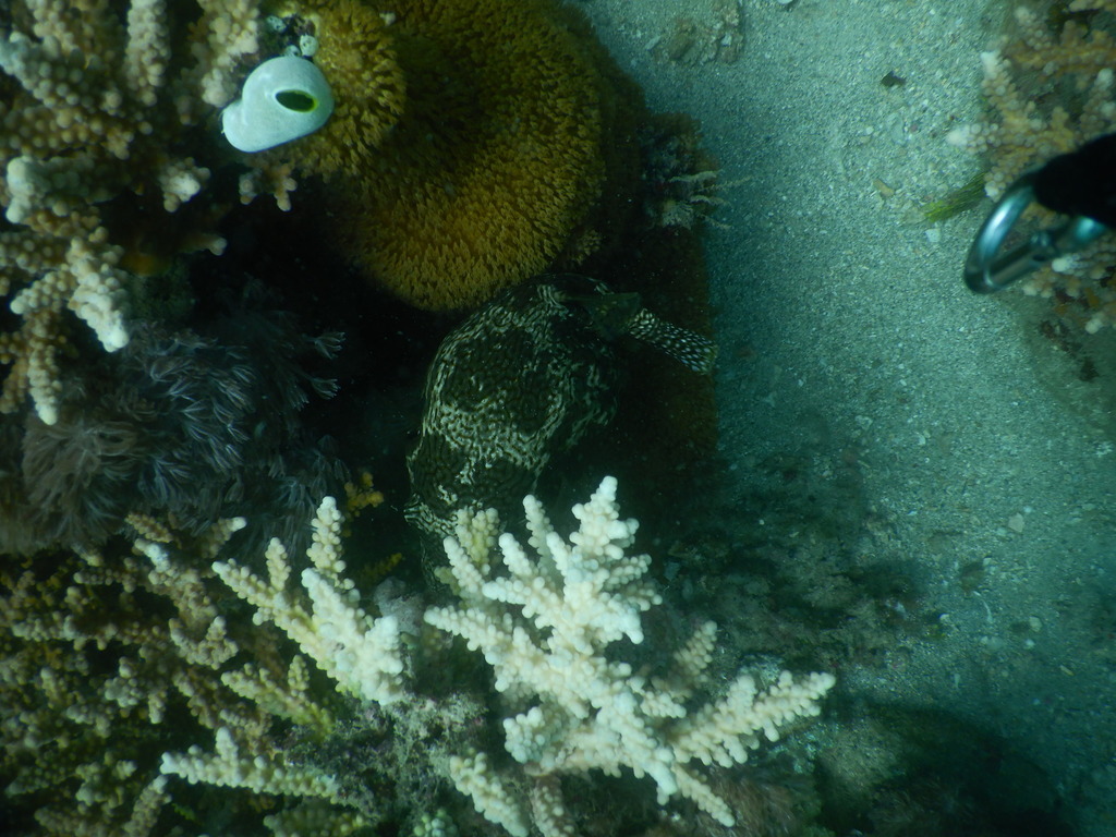
(c) Ewout Knoester, some rights reserved (CC BY-SA) · CC BY-SA · iNaturalist 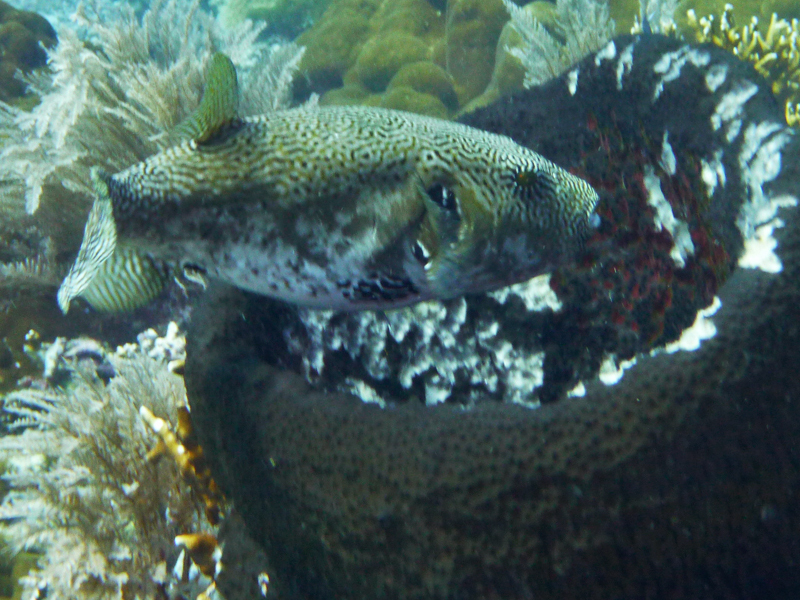
(c) Ewout Knoester, some rights reserved (CC BY-SA) · CC BY-SA · iNaturalist 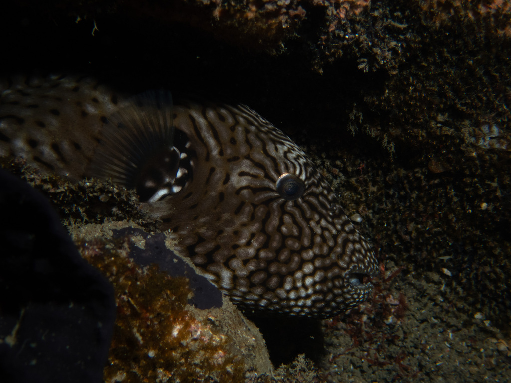
no rights reserved · CC0 1.0 · iNaturalist 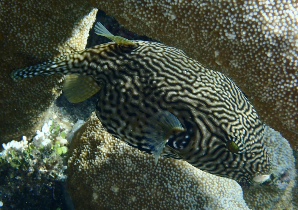
no rights reserved · CC0 1.0 · iNaturalist 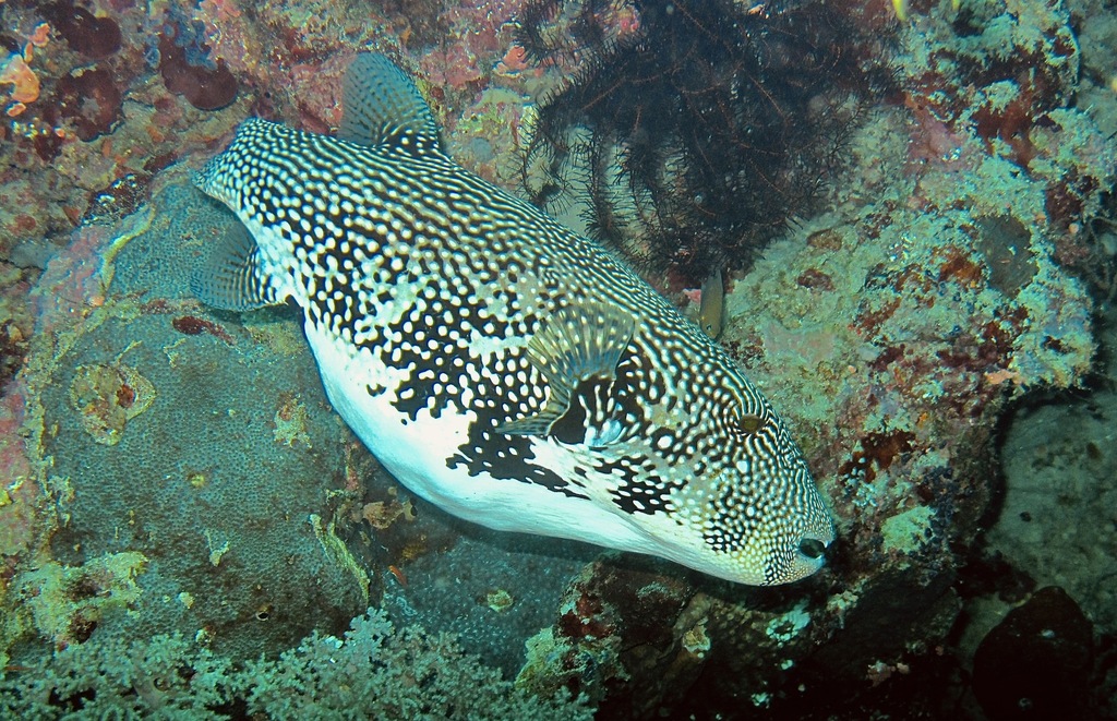
(c) Bernard DUPONT, some rights reserved (CC BY) · CC BY · iNaturalist
Names and classification
- English
- Map puffer, map blaasop, map puffer, Map Pufferfish, Map Toado, Scribbled Puffer, Scribbled Pufferfish, Scribbled Toadfish
Names in 7 more languages
- German
- Karte-Kugelfisch, Landkarten-Kugelfisch, Mappa-Kugelfisch
- Spanish
- Botete Mapa
- Filipino
- Butete
- French
- Ballon griffonné, Poisson-ballon griffonné
- Japanese
- Keshofugu, Keshôfugu, Keshou fugu, ケショウフグ
- Thai
- ปลาปักเป้าจุดดำ, ปลาปักเป้าหน้าลาย
- Simplified Chinese
- 條紋規仔, 規仔, 輻紋叉鼻魨
Other scientific names: Tetraodon mappa, Tetrodon mappa
Similar species
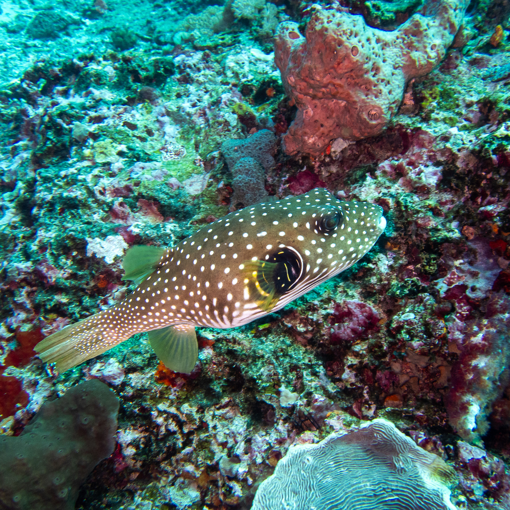 Bristly puffer
Arothron hispidus
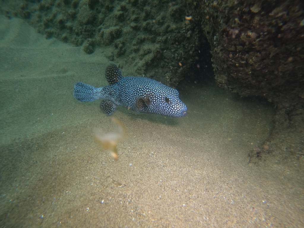 Guineafowl puffer
Arothron meleagris
 Narrow-lined toadfish
Arothron immaculatus
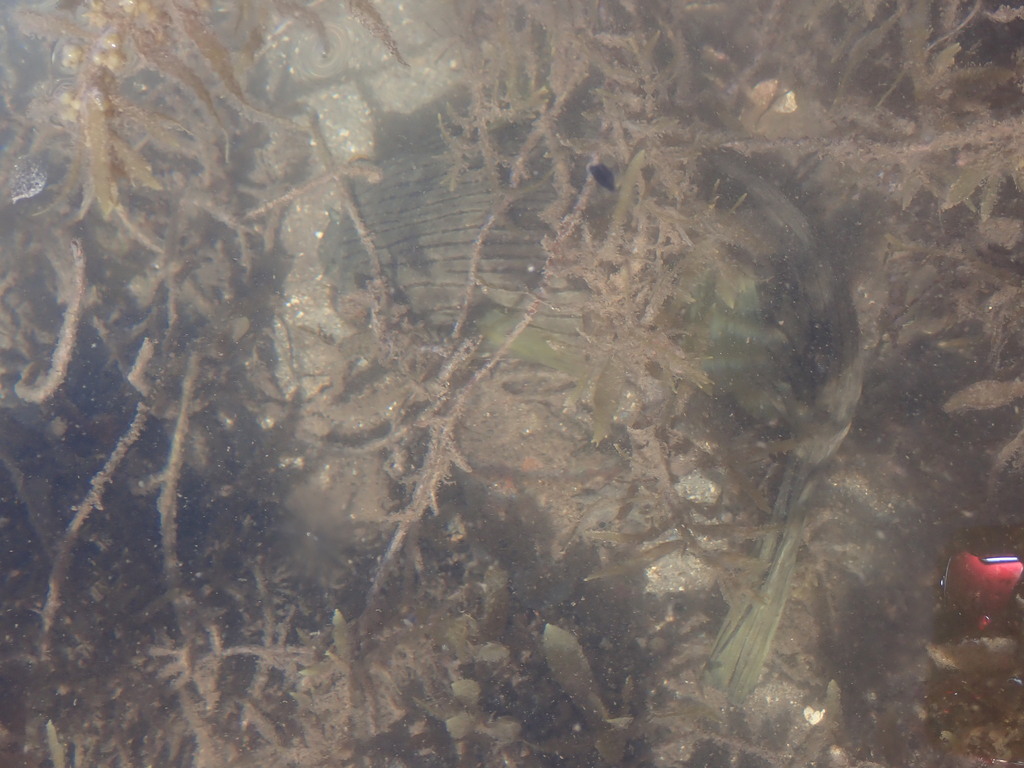 Narrow-lined Puffer
Arothron manilensis
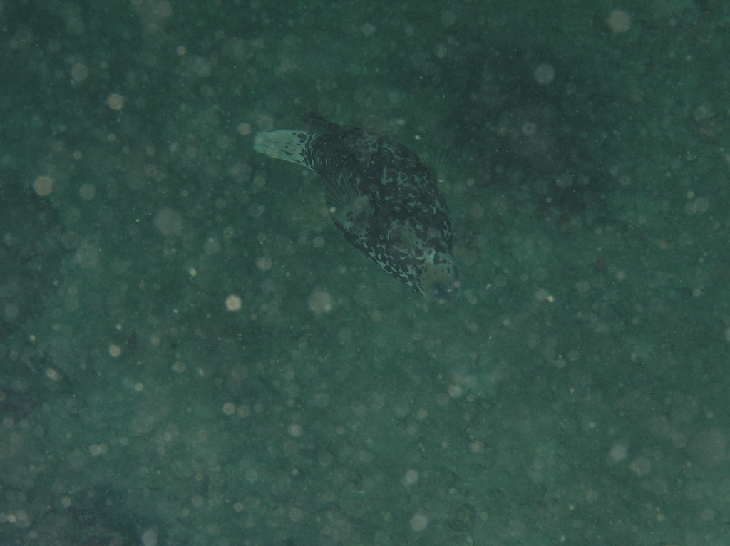 Blackspotted puffer
Arothron nigropunctatus
 Blackspotted puffer
Arothron stellatus
Sources and credits
Names and taxonomy: WoRMS (CC BY 4.0) and the GBIF Backbone (CC BY 4.0). Photos: iNaturalist observers, each under the licence shown (CC0, CC BY or CC BY-SA).
- Depth, temperature, months and maps: records from OBIS and GBIF under CC0 or CC BY.
- Descriptions: Wikipedia, licensed CC BY-SA, each linked to its article.
- Conservation status as published by GBIF (IUCN Red List).
- 284 open-data records from 1827 to 2023.
- Species data updated October 26, 2026.
Log what you see on your next dive
The free DiveHive diver app keeps your logbook with every sighting and shows what lives at the site you dive next.