
Bluebreast Wrasse
Leptojulis cyanopleura
- Usual depth18–52 m
- Water temperature20–30 °C
- Best monthsJanuary, February, and November
- How commonOccasional
About this species
Leptojulis cyanopleura, the shoulder-spot wrasse, is a species of marine ray-finned fish from the family Labridae, the wrasses. It is found in the Indo-West Pacific from the Gulf of Oman, Socotra and the Persian Gulf, the Maldives, Sri Lanka, southwest India, Malaysia and Singapore and through the Malay Archipelago and the Philippines to the Solomon Islands south to Ningaloo Reef in Western Australia and New South Wales in Australia. This species forms harems, consisting of a single male and a number of females, in areas with rubble and weed where the water is turbid and rich in plankton, on which this species feeds.
Text from the Wikipedia article “Leptojulis cyanopleura”, licensed CC BY-SA 4.0. Read the article
Where and when
Where it has been recorded
Worldwide
Loading the map
Best months
Worldwide (open data)
- January: 41 records
- February: 43 records
- March: 5 records
- April: 2 records
- May: 7 records
- June: 10 records
- July: 2 records
- August: 9 records
- September: 9 records
- October: 38 records
- November: 47 records
- December: 16 records
Depth and water temperature
Depth
Mostly recorded at 18–52 m · Deepest record: 97 m
Water temperature
Recorded in surface water of 20–30 °C
Names and classification
- English
- Bluebreast Wrasse, Blue-sided Wrasse, Blue-spot V-wrasse, Blue-spot Wrasse, Shoulder-spot Wrasse, Shoulderspot Wrasse, Weedy Wrasse
Other scientific names: Halichoeres cyanopleura, Julis cyanopleura, Julis pyrrhogrammatoides, Leptojulis pyrrhogrammatoides
Similar species
- tailmark wrasse
Leptojulis urostigma
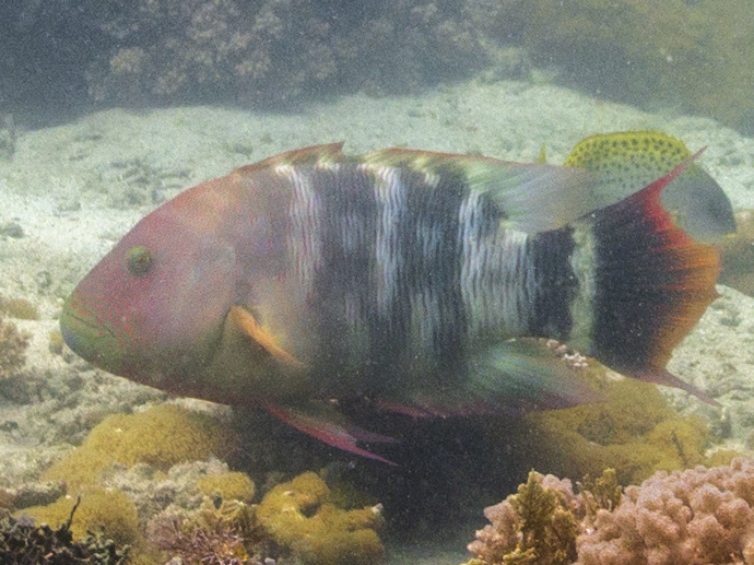 Tripletail wrasse
Cheilinus trilobatus
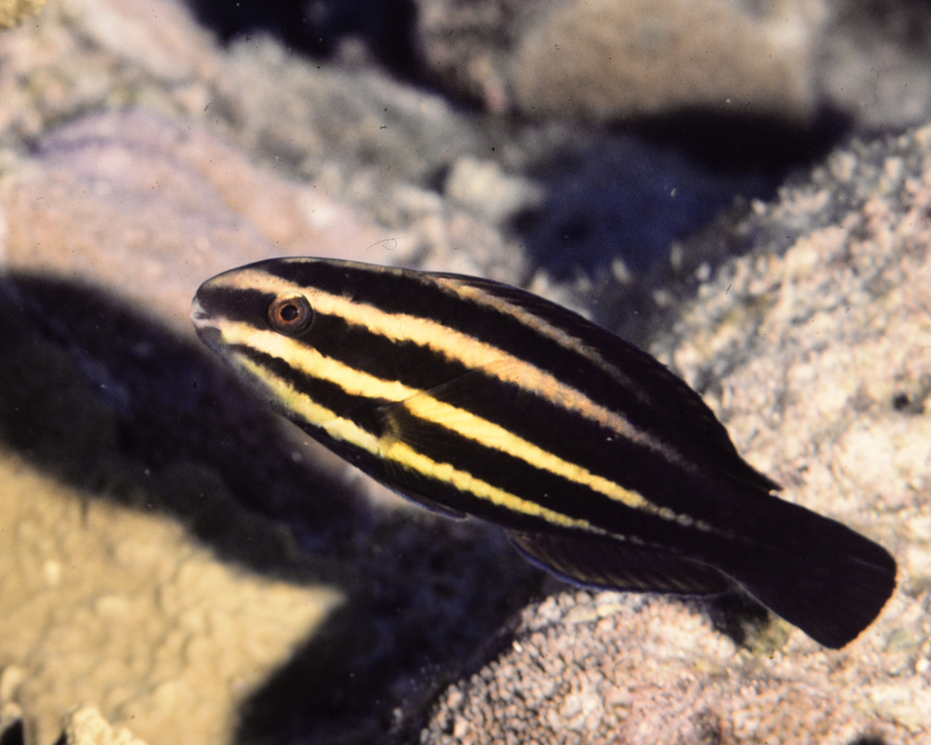 Blunt-head Parrotfish
Chlorurus microrhinos
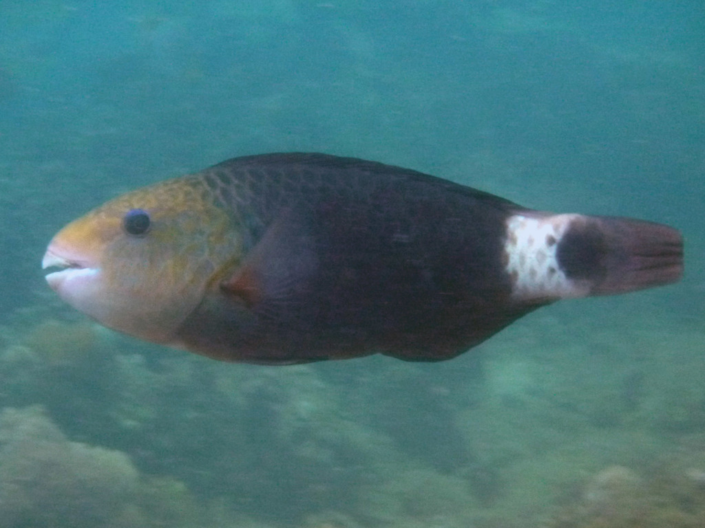 bullethead parrotfish
Chlorurus sordidus
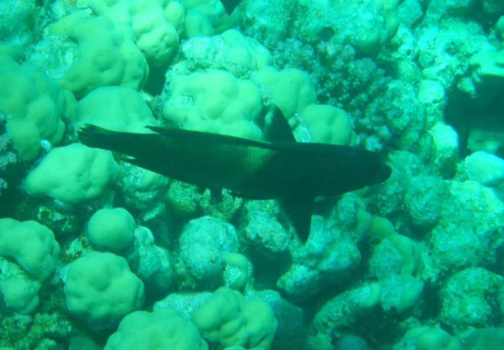 Clown wrasse
Coris aygula
Sources and credits
Names and taxonomy: WoRMS (CC BY 4.0) and the GBIF Backbone (CC BY 4.0). Photos: iNaturalist observers, each under the licence shown (CC0, CC BY or CC BY-SA).
- Depth, temperature, months and maps: records from OBIS and GBIF under CC0 or CC BY.
- Descriptions: Wikipedia, licensed CC BY-SA, each linked to its article.
- Conservation status as published by GBIF (IUCN Red List).
- 354 open-data records from 1853 to 2021.
Log what you see on your next dive
The free DiveHive diver app keeps your logbook with every sighting and shows what lives at the site you dive next.