
Largemouth Triplefin
Ucla xenogrammus
- Usual depth2–25 m
- Water temperature23–30 °C
- Best monthsMay, October, and November
- How commonOccasional
About this species
The largemouth triplefin, Ucla xenogrammus, is a fish of the family Tripterygiidae and only member of the genus Ucla, found in the Pacific Ocean from Vietnam, the Philippines, Palau and the Caroline Islands to Papua New Guinea, Australia, and the Solomon Islands, Fiji, Tonga, east to American Samoa and Rapa Iti, at depths of between 2 and 41 metres. Its length is up to about 47 millimetres (1.9 in). The generic name was coined by ichthyologist Richard Heinrich Rosenblatt in his unpublished dissertation of 1959 from the University of California Los Angeles and it is the initials of that institution, it was formally applied by Holleman in 1993.
Text from the Wikipedia article “Largemouth triplefin”, licensed CC BY-SA 4.0. Read the article
Where and when
Where it has been recorded
Worldwide
Loading the map
Best months
Worldwide (open data)
- January: 10 records
- February: 26 records
- March: 9 records
- April: 18 records
- May: 35 records
- June: 17 records
- July: 14 records
- August: 22 records
- September: 17 records
- October: 33 records
- November: 33 records
- December: 13 records
Depth and water temperature
Depth
Mostly recorded at 2–25 m · Deepest record: 46 m
Water temperature
Recorded in surface water of 23–30 °C
Names and classification
- English
- Largemouth Triplefin, Long-jaw Threefin, Longjaw Triplefin, Longjaw Triplefin, Largemouth triplefin
Names in 2 more languages
- French
- TRiptérygion à longue mâchoire
- Japanese
- Kasurihebigimpo, カスリヘビギンポ
Other scientific names: Ucla xenogramma
Similar species
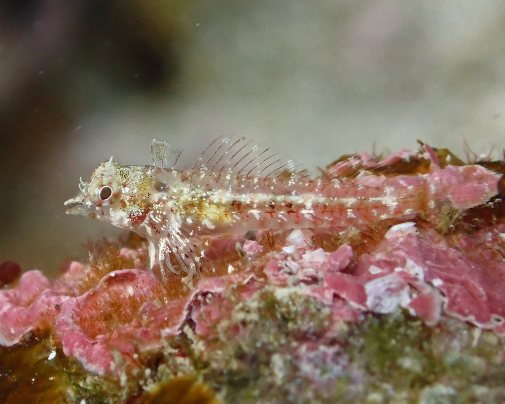 Highfin Threefin
Enneapterygius tutuilae
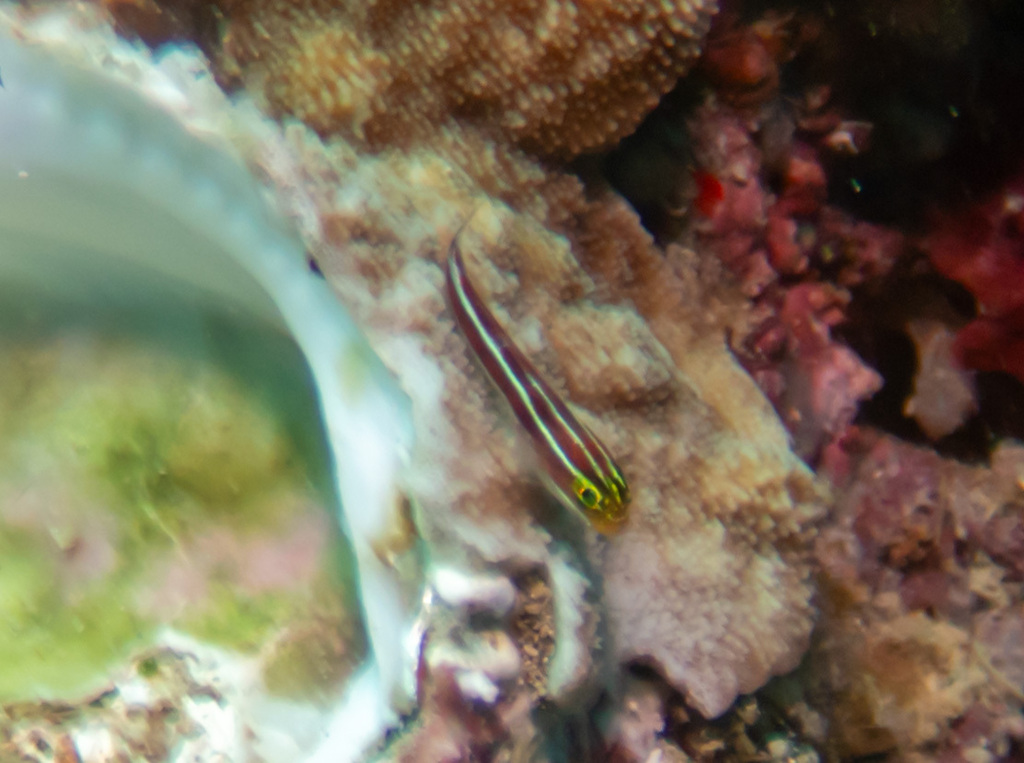 Candystriped Triplefin
Helcogramma striata
- Tasselled Threefin
Apopterygion alta
- Helena's Spiny-eye Triplefin
Ceratobregma helenae
- Blacktail Threefin
Enneapterygius bahasa
- Northern Bicoloured Triplefin
Enneapterygius flavoccipitis
Sources and credits
Names and taxonomy: WoRMS (CC BY 4.0) and the GBIF Backbone (CC BY 4.0). Photos: iNaturalist observers, each under the licence shown (CC0, CC BY or CC BY-SA).
- Depth, temperature, months and maps: records from OBIS and GBIF under CC0 or CC BY.
- Descriptions: Wikipedia, licensed CC BY-SA, each linked to its article.
- Conservation status as published by GBIF (IUCN Red List).
- 455 open-data records from 1944 to 2022.
Log what you see on your next dive
The free DiveHive diver app keeps your logbook with every sighting and shows what lives at the site you dive next.