
DiscoverSpeciesSharks and rays
Southern lanternshark
Etmopterus granulosus
- Usual depth676–1,135 m
- Water temperature4–28 °C
- Best monthsJanuary, March, and July
- How commonCommon
About this species
The southern lanternshark is a shark of the family Etmopteridae found in the southeast Pacific between latitudes 29°S and 59°S, at depths of between 220 and 1,460 m. This species has been found off Northland, off the Chatham Islands, on the Campbell Plateau, all in New Zealand waters. Its length is up to 60 cm. Reproduction is ovoviviparous, with 10 to 13 pups in a litter, length at birth about 18 cm. They exhibit bioluminescence.
Text from the Wikipedia article “Southern lanternshark”, licensed CC BY-SA 4.0. Read the article
Where and when
Where it has been recorded
Worldwide
Loading the map
Best months
Worldwide (open data)
- January: 56 records
- February: 29 records
- March: 40 records
- April: 31 records
- May: 18 records
- June: 9 records
- July: 58 records
- August: 16 records
- September: 3 records
- October: 10 records
- November: 11 records
- December: 21 records
Depth and water temperature
Depth
Mostly recorded at 676–1,135 m · Deepest record: 3,821.5 m
Water temperature
Recorded in surface water of 4–28 °C
Names and classification
- English
- Southern lanternshark, Baxter's Dogfish, Giant Lanternshark, Lucifer, Lucifer, Southern lanternshark, southern lanternshark, southern laternshark
Names in 4 more languages
- German
- Neuseeländischer Laternenhai, Südlicher Laternenhai
- Spanish
- Gata, Tiburón Linterna del Sur, Tollo Lucero
- French
- Sagre à long nez, Sagre long nez, Sagre porte-feu
- Japanese
- トゲニセカラスザメ
Other scientific names: Etmopterus baxteri, Etmopterus tasmaniensis, Spinax granulosus
Similar species
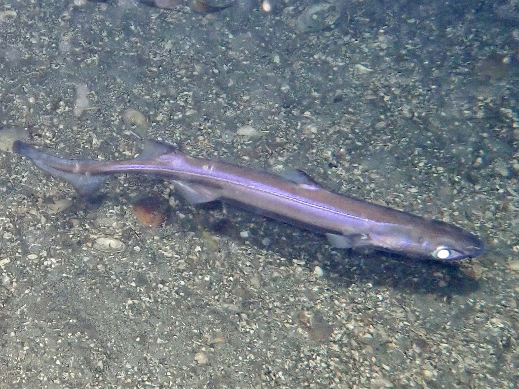 Velvet belly
Etmopterus spinax
- Blackbelly lanternshark
Etmopterus lucifer
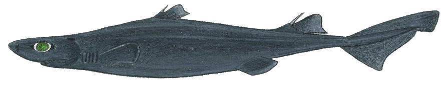 Great lanternshark
Etmopterus princeps
- Black-bellied Deep-sea Dogifsh
Etmopterus molleri
- Slender lanternshark
Etmopterus pusillus
 Blurred lantern shark
Etmopterus bigelowi
Sources and credits
Names and taxonomy: WoRMS (CC BY 4.0) and the GBIF Backbone (CC BY 4.0). Photos: iNaturalist observers, each under the licence shown (CC0, CC BY or CC BY-SA).
- Depth, temperature, months and maps: records from OBIS and GBIF under CC0 or CC BY.
- Descriptions: Wikipedia, licensed CC BY-SA, each linked to its article.
- Conservation status as published by GBIF (IUCN Red List).
- 9,653 open-data records from 1970 to 2024.
- Species data updated November 2, 2026.
Log what you see on your next dive
The free DiveHive diver app keeps your logbook with every sighting and shows what lives at the site you dive next.